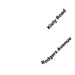
87-89 KIELY RD
Owner Information
None
None
None, None None


Property Details
87-89 KIELY RD is classified as a Other, Open Space (Condominium).
The primary structure on this property was built in 1985. There are 2,898ft2 of built area within this property. There is 1,824ft2 of residential/living space within this property. There are 2 units within this property.
87-89 KIELY RD is valued at $0. The land is valued at $0 and the structures are valued at $0.
Assessment data from fiscal year 2020.
Flood Data
According to the FEMA National Flood Hazard Layer, this property does not appear to be in a flood zone. It may also be in an area not yet reviewed. Nonetheless, confirm this information prior to taking any action.
To view the flood hazards around this property, create a FEMA "Firmette" Map of the area around 87-89 KIELY RD.
Broadband Internet Providers
| Provider | Type | Bandwidth (mbps) | |
|---|---|---|---|
| Verizon New England Inc. | DSL | 3 | 0 |
| Verizon New England Inc. | Fiber | 940 | 880 |
| Comcast | Cable | 1000 | 35 |
| VSAT Systems, LLC. | Satellite | 2 | 1 |
| RCN | Cable | 500 | 20 |
| HughesNet | Satellite | 25 | 3 |
| GCI Communication Corp. | Satellite | 0 | 0 |
| Viasat Inc | Satellite | 100 | 3 |
Broadband service provider data from December 2020.
Adjacent Properties
- 81 KIELY RD
Single Family Residential owned by OLIVERA SERGIO C ETUX - 70 VIOLET AVE
Single Family Residential owned by DOPAZE JENNIFER ETAL - 76 VIOLET AVE
Single Family Residential owned by KEOGH BRENDAN ETUX - 97 KIELY RD
Single Family Residential owned by LYSY KARA R - 84 VIOLET AVE
Two-Family Residential owned by KYRIAKIDIS SAVVAS ETUX 1/2 INT